|
©The Archaeological Settlements of Turkey - TAY Project
|
|
|
|
|
|
Karatepe / Büyüktepe |
|
|
For site maps and drawings please click on the picture...  |
For photographs please click on the photo... 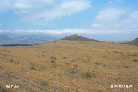 |
|
Type:
|
Upland Settlement |
|
Altitude:
|
700 m |
|
Region:
|
Black Sea |
|
Province:
|
Amasya |
|
District:
|
Merzifon |
|
Village:
|
Karatepe |
|
Investigation Method:
|
Survey |
|
Period:
|
EBA III |
|
|
|
 |
|
| It stands on top of the middle hill (Büyüktepe) out of three known as Siratepeler located 2 km southwest of Karatepe Village; southwest of Merzifon; northwest of Amasya Province. It is 20 m high from the Gümüsdere Stream flowing on northern part of the settlement. It lies in Kavaklik Mevkii. The natural hill has been partly damaged by both the stream and the treasure hunters. It was re-visited by a team under M. Özsait in 1998. Sherds dating from the EBA; the MBA-LBA; the Iron Age and the Roman Period collected from the surface expose that the site had been inhabited for a long period of time. The name was given by M. Özsait. |
| Location: |
| Geography and Environment: |
| History: |
| Research and Excavation: |
| Stratigraphy: |
| Small Finds: |
| Remains: |
| Interpretation and Dating: |