|
©The Archaeological Settlements of Turkey - TAY Project
|
|
|
|
|
|
Samadolu Höyük |
|
|
For site maps and drawings please click on the picture...  |
For photographs please click on the photo... 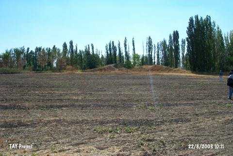 |
|
Type:
|
Mound |
|
Altitude:
|
740 m |
|
Region:
|
Black Sea |
|
Province:
|
Amasya |
|
District:
|
Merzifon |
|
Village:
|
Merkez |
|
Investigation Method:
|
Survey |
|
Period:
|
|
|
|
|
 |
|
| It lies 1.5 km south of the 3rd km of the Merzifon-Gumushaciköy highway; south of Merzifon District; northwest of Amasya Province. The mound is 500 m north of Bugdayli quarter in Merzifon Merkez (old Samadolu). This location is also called Canpazari. It was discovered during a survey conducted by S. Dönmez in 1998. It measures ca. 15 m in height and 100x70 m in dimensions. Materials of the EB; MB and LB Ages as well as the Iron Age and the Hellenistic-Roman Periods were collected from the surface. |
| Location: |
| Geography and Environment: |
| History: |
| Research and Excavation: |
| Stratigraphy: |
| Small Finds: |
| Remains: |
| Interpretation and Dating: |